
About
I'm an Assistant Professor in the Department of Geography and GIS at DePaul University in Chicago. My research employs satellite imagery to measure green space and its social and environmental impacts on urban systems. Satellite and aerial imagery provide a view from above on the current and historic distributions of green space—essential information for designing more equitable and sustainable cities.
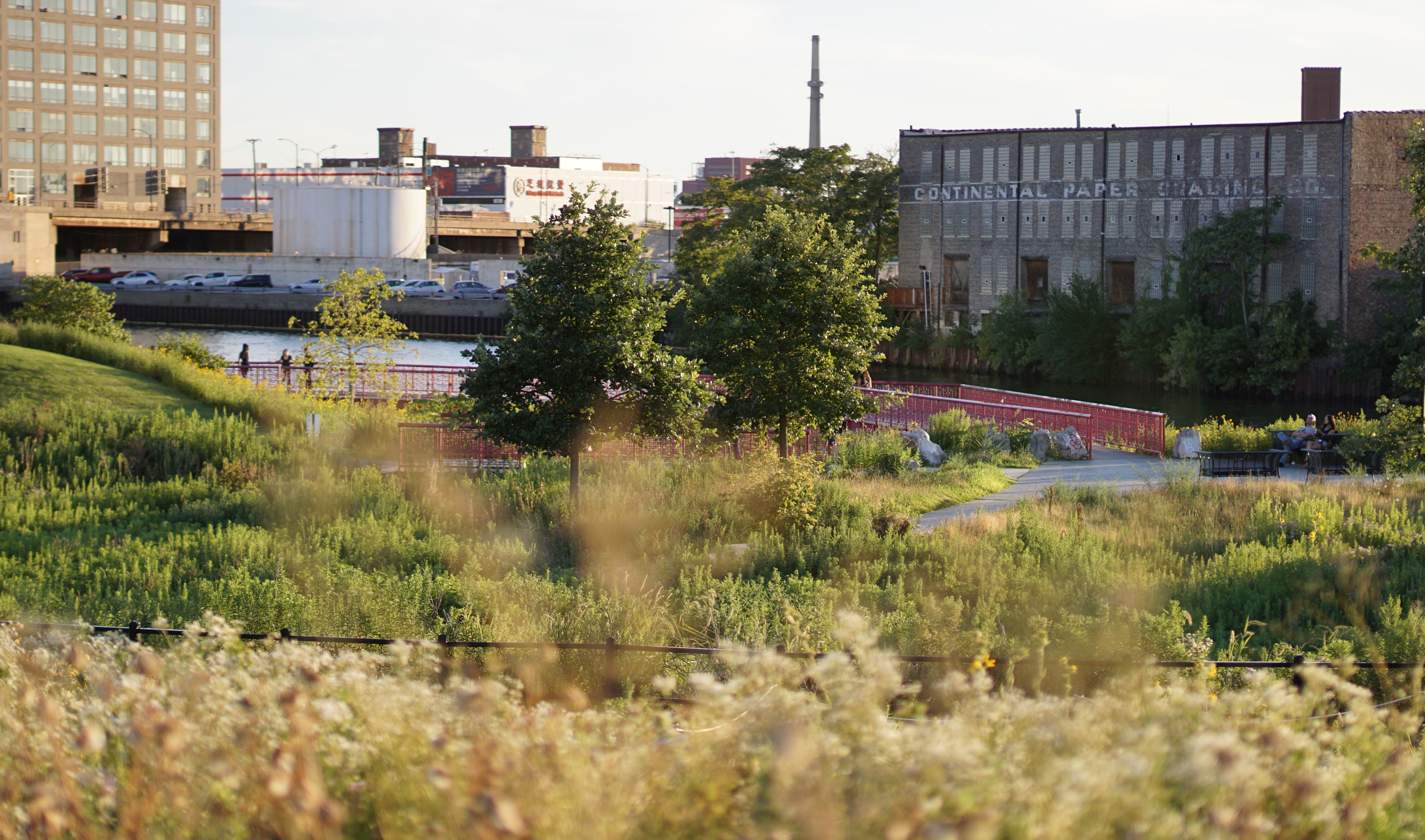 Ping Tom Natural Area in Chicago's Chinatown Neighborhood.
Ongoing Projects
Green Space Equity & Impacts projects examine the distribution of urban green space and resulting socio-ecological impacts. Read more.
Green Gentrification projects analyze the intersection of green space equity and gentrification to ensure inclusive access to high-quality green spaces. Read more.
Community-Engaged Environmental Justice & Data Access work priortizes community collaboration to drive research and democratize access to environmental information. Read more.
Webpage last updated: 2026/04/29